The Real Planet
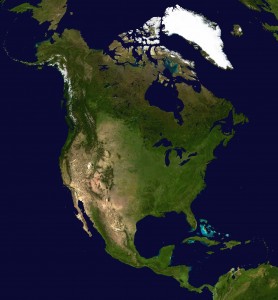
This composite satellite image shows the continent without the artificially imposed, invisible political boundaries of state and nation. The political and economic lines that humans have drawn on the landscapes of the continent have made the true nature of the land invisible. Furthermore, these human imposed lines are not seen by any other species that we share the planet with. Plants, animals, and water do parse the landscapes using natural boundaries, however one powerful way to connect yourself to the rest of life in the landscape around you is to become aware of these natural subdivisions.
Watersheds
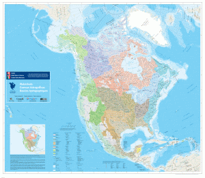
Watersheds divide the landscapes of every continent into parcels of common drainage, which create and are created by the slope of the land. What lies upstream from your home affects you, and what you do affects all who live downstream from you. Sampling the waters tells you much about the health of the land, just as drawing blood reveals much about your own health. Watersheds are subdivided into tributaries, each nested into smaller and smaller natural subdivisions. If you live in the United States, check out the EPA’s surf your watershed website to learn more about where you live.
Ecoregions
What would the United States look like if the state boundaries followed the boundaries of common areas of vegetation?
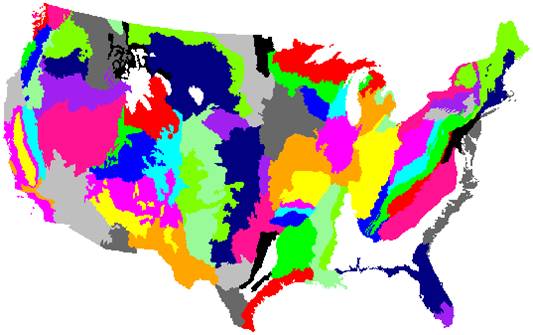
Here’s what it looks like if this concept is extended to the entire continent:
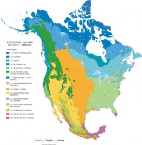
Level I ecoregions are also called biomes. Like river watersheds that can be subdivided into tributaries, ecoregions have been subdivided into Level II Ecoregions:
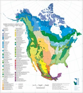
Level III Ecoregions are further subdivided–click on the map to go to the FTP website to download information about the state where you live!
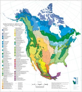
Level IV ecoregions are being completed and are available for most states–click on the Level III Ecoregions map to go to the website to see if it is available for where you live.
